


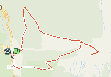

15,4 km | 26 km-effort


Benutzer


Kostenlosegpshiking-Anwendung
 SityTrail
IGN / Geografische Institute
SityTrail World
Die Welt öffnet sich für Sie
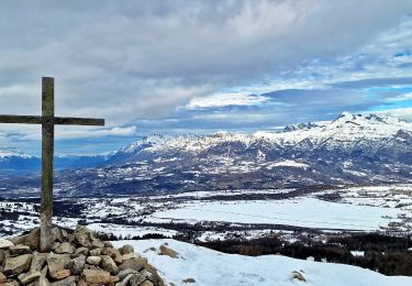
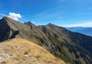
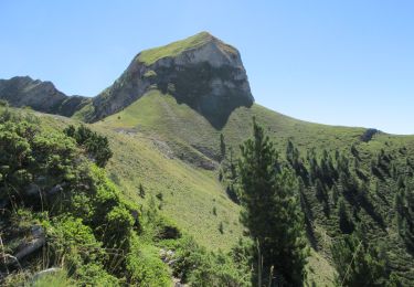
Tour Wandern von 6,5 km verfügbar auf Provence-Alpes-Côte d'Azur, Hochalpen, Ancelle. Diese Tour wird von Dervalmarc vorgeschlagen.
Rando trés physique montée courte mais trés soutenue malgré un faible dénivellé.Attention au chutes de pierres dans la montée et descente du col pour accéder a la cime.

Laufen
Wandern

Wandern
Wandern

Wandern

Wandern

Wandern

Wandern
Wandern