


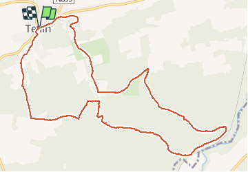


4,8 km | 6,3 km-effort

Benutzer GUIDE


Kostenlosegpshiking-Anwendung
 SityTrail
IGN / Geografische Institute
SityTrail World
Die Welt öffnet sich für Sie
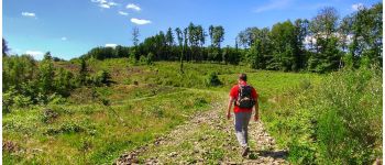
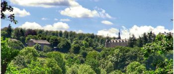
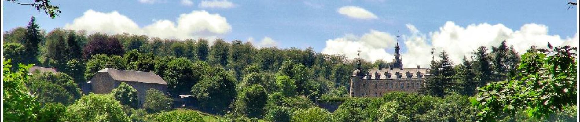
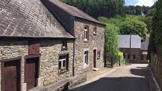
Tour Wandern von 12,3 km verfügbar auf Wallonien, Luxemburg, Tellin. Diese Tour wird von Desrumaux vorgeschlagen.
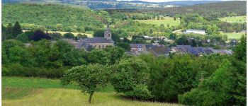
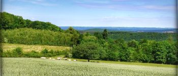
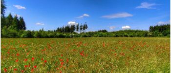
Jolie balade dans la belle province du Luxembourg proposée par la Grande Forêt de Saint-Hubert et l'administration communale de Tellin, balisage triangle bleu.


Wandern

Wandern

Wandern

Wandern

Wandern

Wandern

Wandern

Wandern

Wandern