


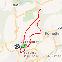

8,6 km | 18,5 km-effort

Benutzer


Kostenlosegpshiking-Anwendung
 SityTrail
IGN / Geografische Institute
SityTrail World
Die Welt öffnet sich für Sie
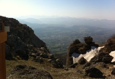
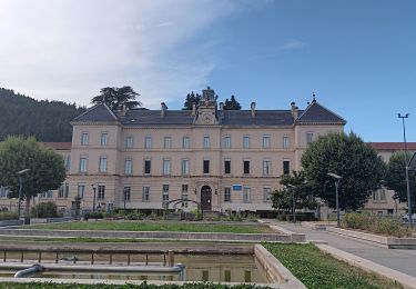
Tour Wandern von 7,3 km verfügbar auf Provence-Alpes-Côte d'Azur, Hochalpen, Gap. Diese Tour wird von Dervalmarc vorgeschlagen.
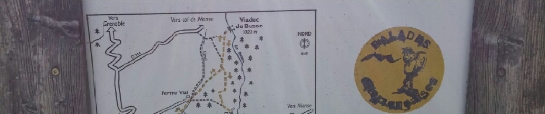
Vestige d'une ligne de chemin de fer reliant Gap au Champsaur.Cette fut arrêté en raison de la déclaration de la grande guerre.Il en reste de très beaux vestiges dont ce viaduc.
 - Photo 1")
 - Photo 2")
 - Photo 3")
 - Photo 4")
 - Photo 5")
 - Photo 6")
 - Photo 7")
 - Photo 8")

Wandern

Wandern

Wandern

Wandern

Wandern
Wandern
Wandern
Wandern
Wandern