


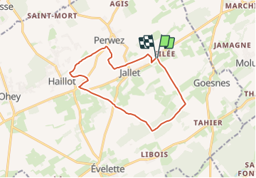


17,1 km | 21 km-effort

Destination Condroz-Famenne- une nature préservée PRO


Kostenlosegpshiking-Anwendung
 SityTrail
IGN / Geografische Institute
SityTrail World
Die Welt öffnet sich für Sie
Tour Wandern von 11,9 km verfügbar auf Wallonien, Namur, Ohey. Diese Tour wird von Vallées des Saveurs - Maison du Tourisme Condroz-Famenne vorgeschlagen.
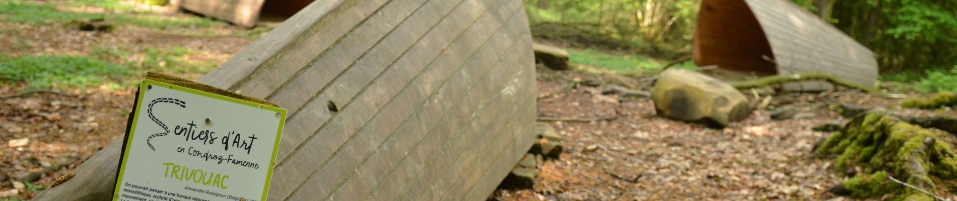
Sentiers d'art Boucle Jallet-Haillot


Wandern

Wandern

Wandern

Wandern

Wandern

Wandern

Wandern
Wandern

Wandern
Très jolie boucle ! La première partie est selon moi plus intéressante que la seconde mais très sympa tout de même pour découvrir les environs de Haillot et Jallet. Si vous désirez faire la balade en famille ou plus tranquillement, comptez plutôt 3h pour faire la boucle.