


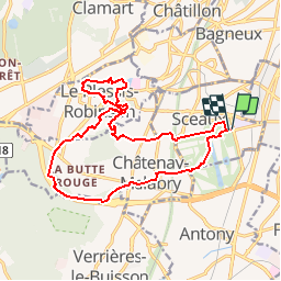

22 km | 27 km-effort


Benutzer


Kostenlosegpshiking-Anwendung
 SityTrail
IGN / Geografische Institute
SityTrail World
Die Welt öffnet sich für Sie
Tour Wandern von 16,8 km verfügbar auf Île-de-France, Hauts-de-Seine, Sceaux. Diese Tour wird von jctinchebray vorgeschlagen.
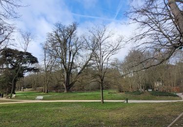
Randonnée boucle de 17 km au départ du parc de Sceaux et passant par Chatenay Malabry, Plessis Robinson, le parc de la vallée aux loups.

Wandern

Wandern

Wandern

Wandern

Wandern
Wandern
Zu Fuß

Wandern
Wandern