


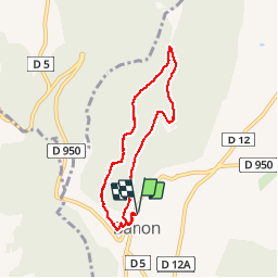

9,6 km | 12,7 km-effort


Benutzer


Kostenlosegpshiking-Anwendung
 SityTrail
IGN / Geografische Institute
SityTrail World
Die Welt öffnet sich für Sie
Tour Wandern von 7 km verfügbar auf Provence-Alpes-Côte d'Azur, Alpes-de-Haute-Provence, Banon. Diese Tour wird von Brougeons vorgeschlagen.
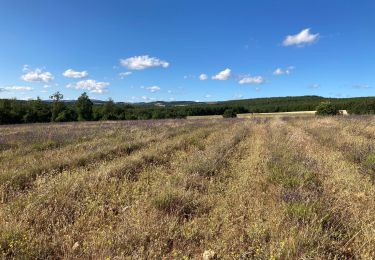
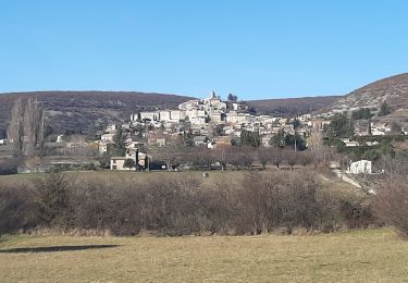
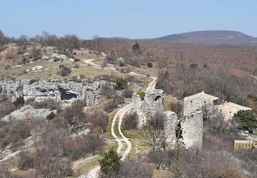
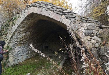
Départ du parking camping-car, ouvert à tous véhicules. On monte sur le mont qui domine Banon, Puis sur la crête on a des vues sur le Village, la montagne de Lure et le mont Ventoux. Retour par un vallon bois et de chênes verts.
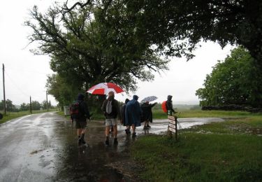
Wandern
Wandern

Wandern
Wandern
Wandern
Wandern
Wandern
Wandern
Wandern