


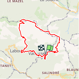

65 km | 93 km-effort

Benutzer


Kostenlosegpshiking-Anwendung
 SityTrail
IGN / Geografische Institute
SityTrail World
Die Welt öffnet sich für Sie
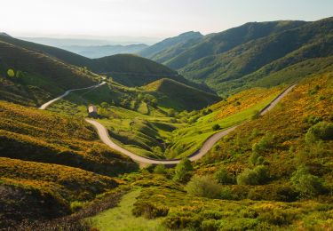
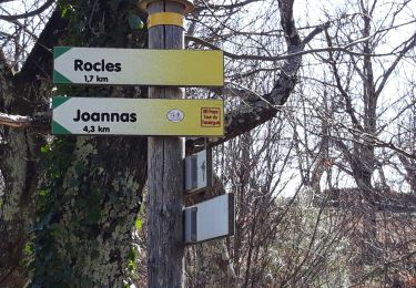
Tour Zu Fuß von 17,1 km verfügbar auf Auvergne-Rhone-Alpen, Ardèche, Rocles. Diese Tour wird von silvestreclaudine vorgeschlagen.
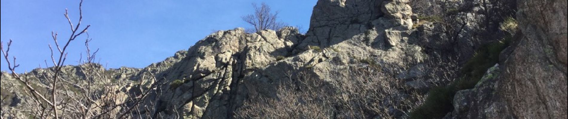
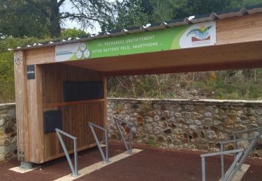
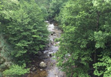
Depart du pont : passage difficile et dangereux dans les rochers ( vertiges s'abstenir) suivre balisage jaune et blanc , rochers balisage vert et blanc puis GR et ensuite jaune et blanc


Mountainbike
Wandern
Rennrad

sport
Wandern
Wandern
Wandern
Wandern
Wandern