


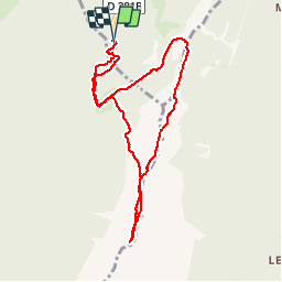


12,2 km | 28 km-effort

Benutzer


Kostenlosegpshiking-Anwendung
 SityTrail
IGN / Geografische Institute
SityTrail World
Die Welt öffnet sich für Sie
Tour Schneeschuhwandern von 9,1 km verfügbar auf Auvergne-Rhone-Alpen, Isère, Crêts-en-Belledonne. Diese Tour wird von patjobou vorgeschlagen.
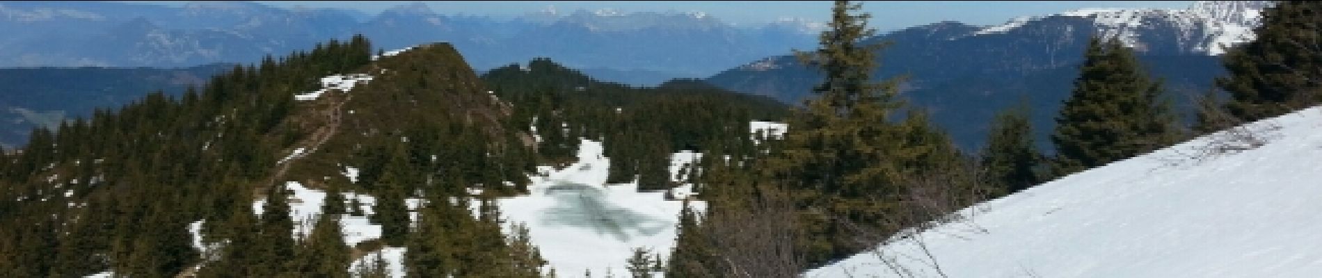
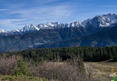
Une superbe balade avec un panorama magnifique. A faire par beau temps.
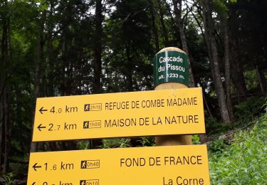
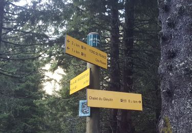
En cette fin de saison peu enneigée, nous trouvons l'enneigement continu vers 1600 m où nous chaussons les raquettes pour des passages encore gelés en forêt. Elles seront utiles à la descente pour les passages en neige molle de cette saison. Le retour par La Grande Bouline (chemin d'été) n'est possible qu'en fin de saison quand tout risque d'avalanche est passé. Sinon, en hiver, le passage est interdit, et l'itinéraire balisé plonge vers le foyer de fond à partir de la cote 1608 m.
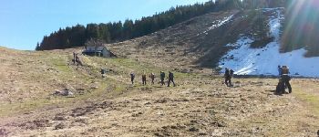
 - Photo 1")
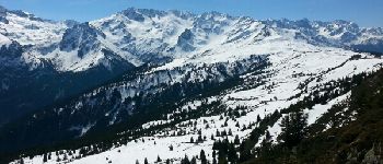
 - Photo 2")
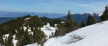
 - Photo 3")

Wandern
Wandern

Mountainbike

Wandern
Wandern

Andere Aktivitäten

Wintersport

Wandern
Wandern