


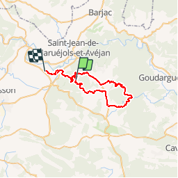

10,4 km | 14,9 km-effort


Benutzer


Kostenlosegpshiking-Anwendung
 SityTrail
IGN / Geografische Institute
SityTrail World
Die Welt öffnet sich für Sie
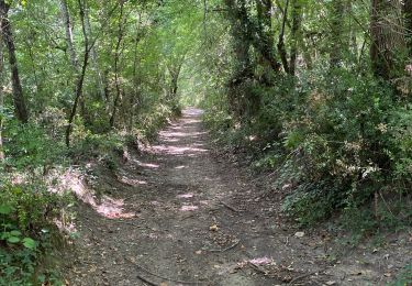
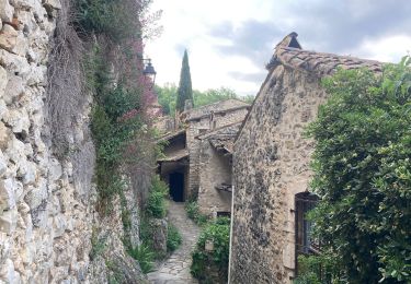
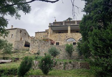
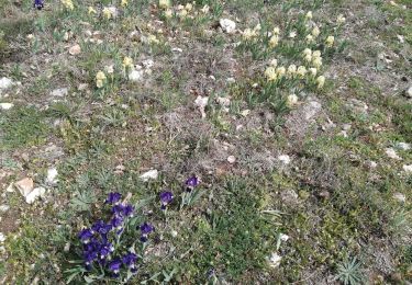
Tour Mountainbike von 41 km verfügbar auf Okzitanien, Gard, Rivières. Diese Tour wird von Mariolebeno vorgeschlagen.
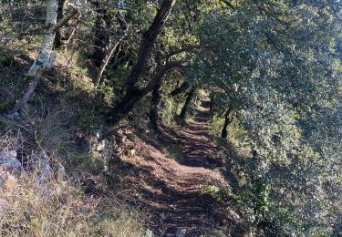
attention portion de portage un peu acrobatique du genre câble à main gauche et vélo sur l'épaule droite ...
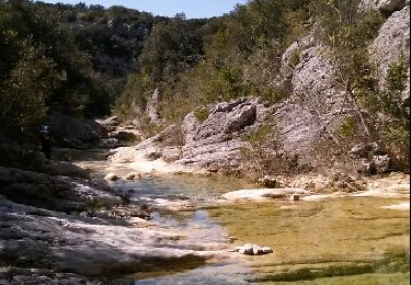
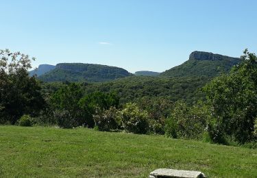
A part ça,un circuit magnifique
Wandern

Wandern
Wandern
Wandern
Wandern

Wandern
Wandern