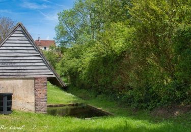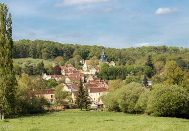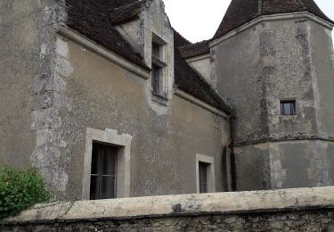

Bizou 10.1 Km

ODDAD78
Benutzer

Länge
10,1 km

Maximale Höhe
253 m

Positive Höhendifferenz
148 m

Km-Effort
12 km

Min. Höhe
195 m

Negative Höhendifferenz
147 m
Boucle
Ja
Erstellungsdatum :
2019-04-13 16:34:07.718
Letzte Änderung :
2023-05-25 15:49:36.39
2h44
Schwierigkeit : Schwierig

Kostenlosegpshiking-Anwendung
Über SityTrail
Tour Wandern von 10,1 km verfügbar auf Normandie, Orne, Bizou. Diese Tour wird von ODDAD78 vorgeschlagen.
Beschreibung
Une variante du PR 'Les Sables du Perche" qui, en contournant la Pannetière emprunte un chemin bordé de très beaux arbres
Les sables du Perche sur Sitytrail :
https://www.sitytrail.com/fr/trails/3673978-bizou--bizou-x-les-sables-du-perche-9x2-kmm/
Ort
Land:
France
Region :
Normandie
Abteilung/Provinz :
Orne
Kommune :
Bizou
Standort:
Unknown
Gehen Sie:(Dec)
Gehen Sie:(UTM)
333829 ; 5373788 (31U) N.
Kommentare
Touren in der Umgebung

Monceaux au Perche (Boucle)


Wandern
Einfach
(2)
Longny les Villages,
Normandie,
Orne,
France

10,6 km | 13,5 km-effort
2h 30min
Ja
![Tour Wandern Longny les Villages - [Itinéraire] La Brisardière - Photo](https://media.geolcdn.com/t/375/260/19108d03-3d8a-43b4-b05b-172408edde68.jpeg&format=jpg&maxdim=2)
[Itinéraire] La Brisardière


Wandern
Einfach
Longny les Villages,
Normandie,
Orne,
France

3,5 km | 4,4 km-effort
1h 0min
Ja
![Tour Wandern Bizou - [Itinéraire] Les sables du Perche - Photo](https://media.geolcdn.com/t/375/260/6b586e88-fad3-40df-be07-9b2a61186b9b.jpeg&format=jpg&maxdim=2)
[Itinéraire] Les sables du Perche


Wandern
Medium
Bizou,
Normandie,
Orne,
France

9,2 km | 11 km-effort
2h 29min
Ja

Attelage - Forêt et Panoramas - forêt de Réno-Valdieu


Zu Fuß
Einfach
Longny les Villages,
Normandie,
Orne,
France

7,6 km | 9,3 km-effort
2h 7min
Nein

12102996-Maison Maugis 22.37


Wandern
Medium
(1)
Cour-Maugis sur Huisne,
Normandie,
Orne,
France

22 km | 28 km-effort
Unbekannt
Ja

Le Mage - Longny-au-Perche (Longny les Villages) 11 km


Wandern
Schwierig
Le Mage,
Normandie,
Orne,
France

11,2 km | 13,5 km-effort
3h 17min
Nein

Le Mage - Moutiers-au-Perche 9,2 km


Wandern
Medium
Le Mage,
Normandie,
Orne,
France

9,2 km | 11,5 km-effort
2h 33min
Nein

Monceaux et le Manoir


Wandern
Einfach
Longny les Villages,
Normandie,
Orne,
France

7,6 km | 9,6 km-effort
3h 0min
Ja

Minceaux 2


Wandern
Sehr leicht
Longny les Villages,
Normandie,
Orne,
France

10,6 km | 13,5 km-effort
2h 7min
Ja


 SityTrail


