


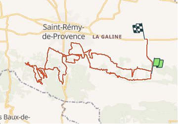

10,3 km | 14 km-effort


Benutzer


Kostenlosegpshiking-Anwendung
 SityTrail
IGN / Geografische Institute
SityTrail World
Die Welt öffnet sich für Sie
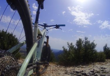
Tour Mountainbike von 35 km verfügbar auf Provence-Alpes-Côte d'Azur, Bouches-du-Rhône, Saint-Rémy-de-Provence. Diese Tour wird von SabetMick vorgeschlagen.
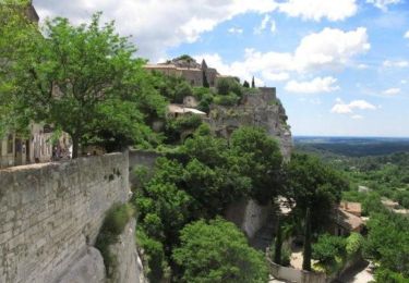
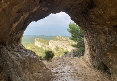
Superbe parcours mixte 25-35km. pleins de monotrace ludique et complètement atypique. Attention n'oubliez pas vos jambes car c'est une rando difficile et engageante, mais tellement magnifique...

Wandern
Mountainbike
Wandern

Wandern
Wandern
Mountainbike
Wandern
Mountainbike
Wandern