


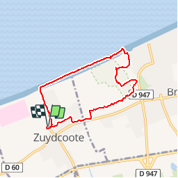

7,8 km | 8,4 km-effort


Benutzer


Kostenlosegpshiking-Anwendung
 SityTrail
IGN / Geografische Institute
SityTrail World
Die Welt öffnet sich für Sie
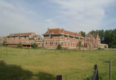
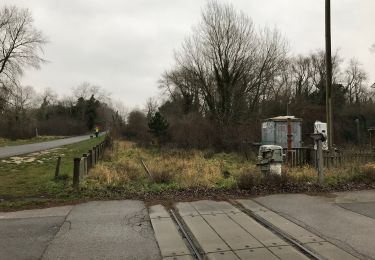
Tour Wandern von 6,2 km verfügbar auf Nordfrankreich, Nord, Zuydcoote. Diese Tour wird von patpounet73 vorgeschlagen.
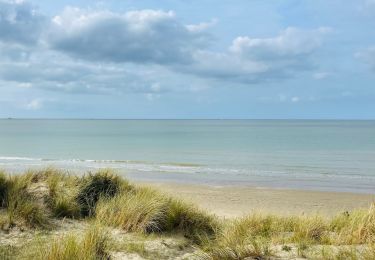
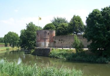
Très agréable promenade sur la plage et dans les dunes. Circuit bien aménagé avec points de vues et panneaux explicatifs.
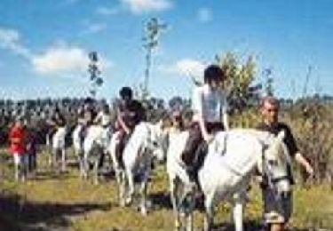
Wandern
Wandern

Wandern
Wandern
Wandern
Zu Fuß

Wandern
Mountainbike
Fahrrad