


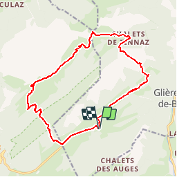

11,8 km | 24 km-effort


Benutzer


Kostenlosegpshiking-Anwendung
 SityTrail
IGN / Geografische Institute
SityTrail World
Die Welt öffnet sich für Sie
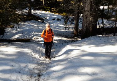
Tour Andere Aktivitäten von 17,4 km verfügbar auf Auvergne-Rhone-Alpen, Hochsavoyen, Glières-Val-de-Borne. Diese Tour wird von mg.carpentier vorgeschlagen.
Départ de Chez la Jode. Direction la Mandrolière, puis Fréchet, Outan, Spée, Creux des Sarrazins, Col de Spée, Chalets de Tinnaz, Col du Cable, Crêt de l'Ebat, Chalet du Plan, Champ laitier. Traversée de la Montagne des Frêtes; Col des Glières. Retour Chez la Jode.
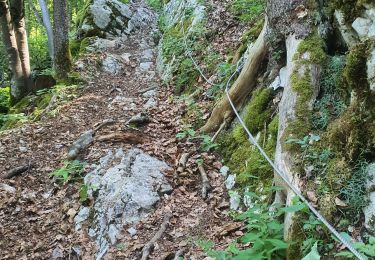
Wandern

Wandern

Wandern

Wandern
Wandern
Wandern
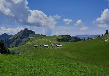
Wandern
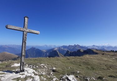
Wandern
Wandern