


7,7 km | 9,1 km-effort


Benutzer


Kostenlosegpshiking-Anwendung
 SityTrail
IGN / Geografische Institute
SityTrail World
Die Welt öffnet sich für Sie
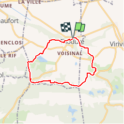
Tour Wandern von 11,9 km verfügbar auf Auvergne-Rhone-Alpen, Isère, Thodure. Diese Tour wird von raymondfn vorgeschlagen.
Thodure, parking devant l'église.
Vers le sud-est puis le sud : Feyrassière, Chapaizolle, longer la combe de Fondon, laisser à gauche les 2 petits sommets "Cuvillon", rejoindre les Crêtes.
Vers l'ouest : longer la combe du ruisseau de Remigray (le long du terrain militaire), l'Ollière, passer près du "Nid", Ferrouillat.
Obilquer vers le nord : petite montée vers Croix Blanche, descendre à l'Étang Berger, pose vers la cabane des chaqsseurs au bord de "l'Étang", les Routes, les Fossés.
Vers l'est : les Brosses, le Bouillat, descente finale.

Wandern
Wandern
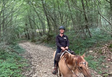
Reiten
Wandern
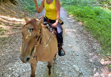
Reiten
Wandern
Wandern
Wandern
Wandern