


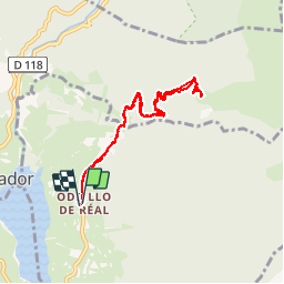

13,1 km | 26 km-effort


Benutzer


Kostenlosegpshiking-Anwendung
 SityTrail
IGN / Geografische Institute
SityTrail World
Die Welt öffnet sich für Sie
Tour Schneeschuhwandern von 8,5 km verfügbar auf Okzitanien, Ostpyrenäen, Réal. Diese Tour wird von jpipacific vorgeschlagen.
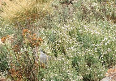
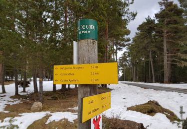
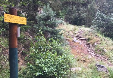
rando jolie et pas trop dure. Magnifique vue depuis le refuge Oller. Non gardé mais ouvert. A chacun de le laisser impeccable après passage.

Schneeschuhwandern

Wandern

Wandern

Schneeschuhwandern
Schneeschuhwandern
Wandern

Schneeschuhwandern

Mountainbike