


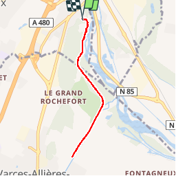

9,1 km | 13,8 km-effort


Benutzer


Kostenlosegpshiking-Anwendung
 SityTrail
IGN / Geografische Institute
SityTrail World
Die Welt öffnet sich für Sie
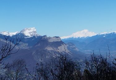
Tour Nordic Walking von 6,5 km verfügbar auf Auvergne-Rhone-Alpen, Isère, Claix. Diese Tour wird von patjobou vorgeschlagen.
Le D est manifestement faux; 30 m est un grand maximum.
Cause: on est sur une digue! il suffit de qq mètres d'écart de position pour se prendre la hauteur de la digue comme variation d'altitude! Normal !

Nordic Walking

Wandern

Mountainbike

Wandern
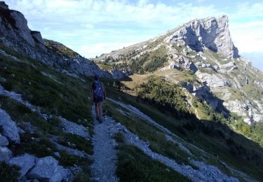
Wandern

Nordic Walking
Wandern
Wandern
Wandern