


9 km | 10,7 km-effort


Benutzer


Kostenlosegpshiking-Anwendung
 SityTrail
IGN / Geografische Institute
SityTrail World
Die Welt öffnet sich für Sie
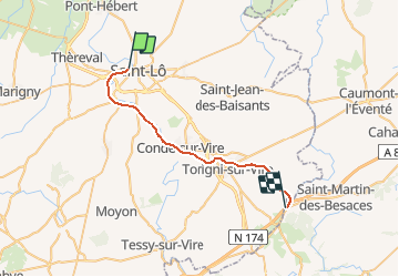
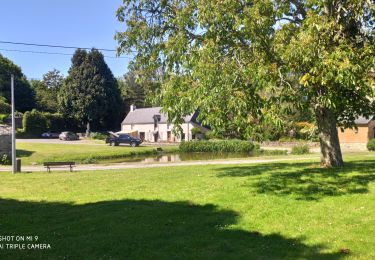
Tour Andere Aktivitäten von 25 km verfügbar auf Normandie, Manche, Saint-Lô. Diese Tour wird von mich54 vorgeschlagen.
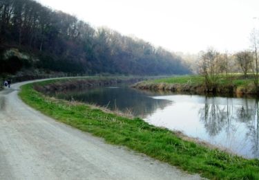
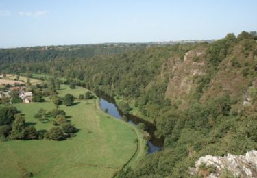
La ligne de Saint-Lô à Guilberville est une ancienne ligne du réseau ferré français ouverte en 1892.
Desserte actuelle
Une des quinze cyclo-draisines du vélorail de Condé-sur-Vire (Association Pour la Vire).
La voie ferrée n'est plus utilisable par la SNCF depuis Saint-Lô car ses rails ont été déposés de Saint-Lô au lieu-dit Candol.
Le tronçon Condé-sur-Vire-Gourfaleur (5,5 km) est exploité pour l'usage touristique par une association 7 pour la circulation touristique de quinze Vélorails..(Source Wikipédia)
Wandern

Mountainbike
Wandern

Wandern
Wandern
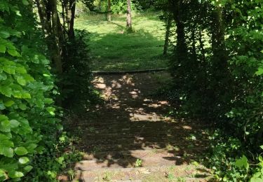
Wandern
Mountainbike
Mountainbike