


4,3 km | 6,2 km-effort


Benutzer


Kostenlosegpshiking-Anwendung
 SityTrail
IGN / Geografische Institute
SityTrail World
Die Welt öffnet sich für Sie
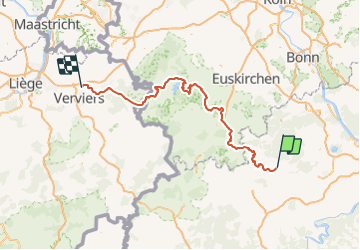
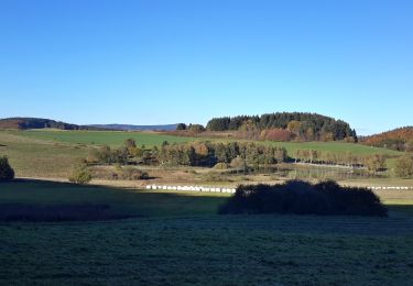
Tour Motor von 149 km verfügbar auf Rheinland-Pfalz, Landkreis Ahrweiler, Nürburg. Diese Tour wird von cwuidard vorgeschlagen.
Seconde partie d'une ballade touristique à l'aide d'un roadbook en fléché-orienté-métré dans le cadre d'une sortie organisée pour les clubs Porsche 911 de Trooz et Type911.org.
Cette ballade, au départ du Nürburgring, nous ramène en Belgique au travers de la magnifique région de l'Eifel à destination du restaurant La Bergerie où nous pourrons agréablement partager un délicieux repas.
Zu Fuß
Zu Fuß
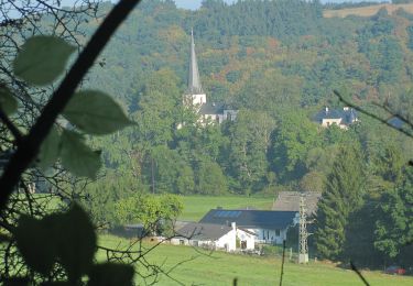
Zu Fuß
Zu Fuß

Zu Fuß

Wandern

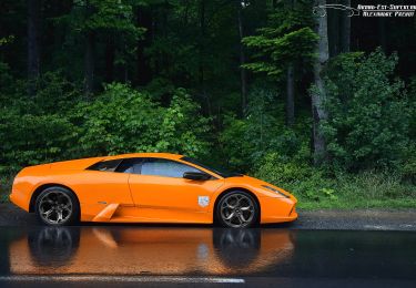
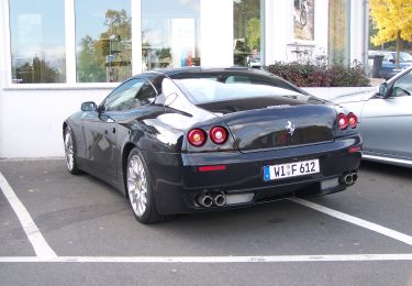
Motor
Motor
Wandern