


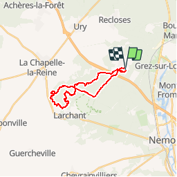


30 km | 34 km-effort


Benutzer


Kostenlosegpshiking-Anwendung
 SityTrail
IGN / Geografische Institute
SityTrail World
Die Welt öffnet sich für Sie
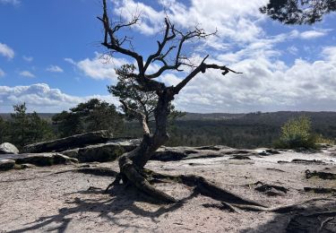
Tour Wandern von 18,8 km verfügbar auf Île-de-France, Seine-et-Marne, Villiers-sous-Grez. Diese Tour wird von chateau77 vorgeschlagen.
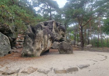
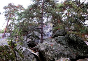
en boucle : Grotte du Curé - Fontaine St Etienne - Grand Fossé - Marais - abris ornés - Croix de la Fontaine St Mathurin - Calvaire des Trois Croix - Croix Bardin - Mont Blanc - Carrière de Blomont - La Fontaine St Bernard - Chalet Jobert

Wandern

Wandern
Wandern
Zu Fuß
Zu Fuß
Wandern
Wandern
Wandern
Wandern