


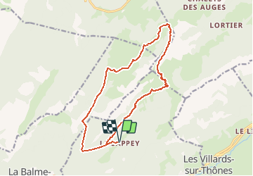

12,6 km | 21 km-effort


Benutzer


Kostenlosegpshiking-Anwendung
 SityTrail
IGN / Geografische Institute
SityTrail World
Die Welt öffnet sich für Sie
Tour Wandern von 15,8 km verfügbar auf Auvergne-Rhone-Alpen, Hochsavoyen, Thônes. Diese Tour wird von Mariolebeno vorgeschlagen.
Départ un peu raide du Sapey, mais je pense que globalement ce sens est préférable.
en cas de neige gelée au dessus de 1700 M en versant N, il faudra être prudent sur la traversée avant le col de l'Ovine
L'horaire est bien évidemment indicatif ...

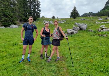
Wandern

Wandern

Wandern

Schneeschuhwandern

Wandern
Wandern
Wandern

Wandern
Wandern
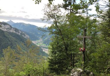
belle sortie ...faite dans l'autre sens en partant du parking des crets