


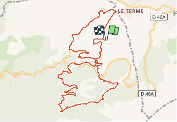

13,3 km | 20 km-effort


Benutzer


Kostenlosegpshiking-Anwendung
 SityTrail
IGN / Geografische Institute
SityTrail World
Die Welt öffnet sich für Sie
Tour Mountainbike von 14,8 km verfügbar auf Provence-Alpes-Côte d'Azur, Bouches-du-Rhône, Allauch. Diese Tour wird von didier13190 vorgeschlagen.
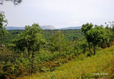
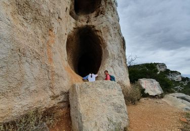
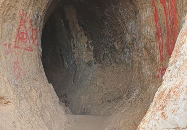
Belle rando début pas trop roulant.
A revoir pour modif.
Sinon le reste top du roulant et du technique

Wandern
Wandern

Wandern

Wandern
Wandern

Zu Fuß
Wandern

Mountainbike

Wandern