


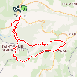

13,4 km | 19 km-effort


Benutzer


Kostenlosegpshiking-Anwendung
 SityTrail
IGN / Geografische Institute
SityTrail World
Die Welt öffnet sich für Sie
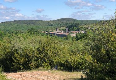
Tour Mountainbike von 21 km verfügbar auf Okzitanien, Aveyron, Cornus. Diese Tour wird von octavio vorgeschlagen.
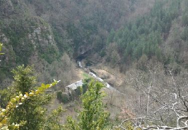
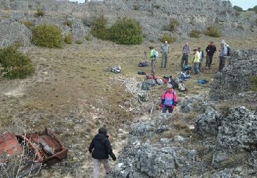
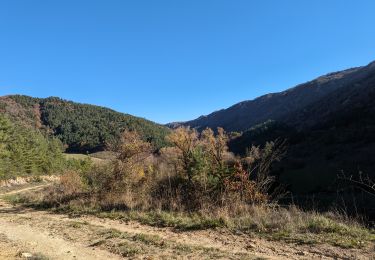
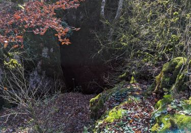
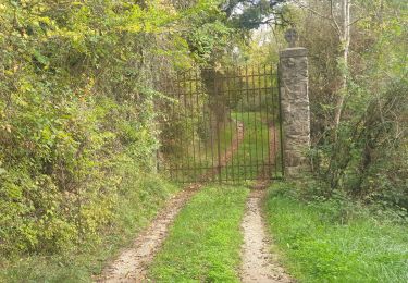
Boucle à partir du village de Cornus, descente à la Sorgues, puis remontée sur l'autre versant, celui du Guilhaumard par le Pas de tire-cul, difficile, avec nombreux passages à pied. Très beau panorama sur le Guilhaumard, très belle descente vers la source de la Sorgues.

Wandern
Wandern
Wandern

Wandern
Wandern
Wandern

Wandern