


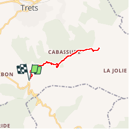


8 km | 10,6 km-effort

Benutzer GUIDE


Kostenlosegpshiking-Anwendung
 SityTrail
IGN / Geografische Institute
SityTrail World
Die Welt öffnet sich für Sie
Tour Mountainbike von 11,8 km verfügbar auf Provence-Alpes-Côte d'Azur, Bouches-du-Rhône, Trets. Diese Tour wird von amiral13 vorgeschlagen.
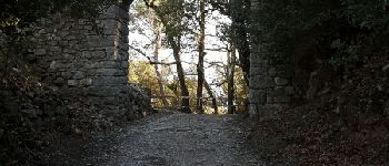
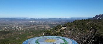
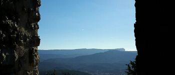
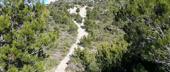
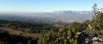
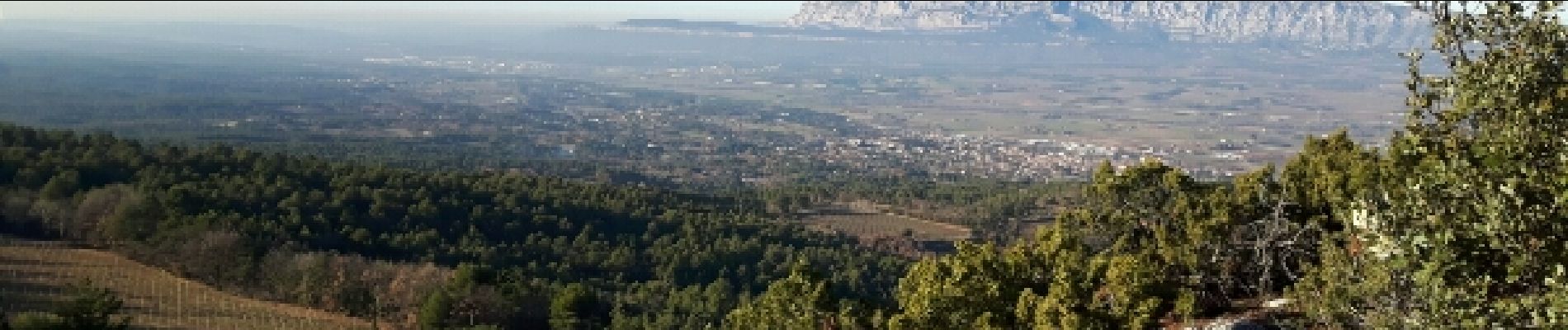
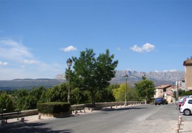
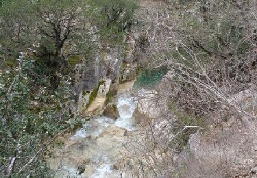
rando VTT facile sur chemin DFCI qui vous aménera du pas de la Couelle au pied du mont Olympe, en passant par l'ermitage de St Jean du Puy (très beau belvédère). pour les courageux un sentier les amènera en 200 m de dénivelée au sommet du mt olympe.


Wandern
Wandern

Zu Fuß
Wandern

Wandern
Wandern
Wandern

Wandern

Wandern
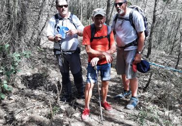
à refaire au top