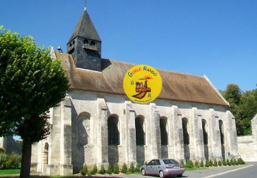
5,4 km | 6,4 km-effort
Montépilloy Supermini Rando
CC.RIDER
Benutzer
Länge
7,8 km
Maximale Höhe
134 m
Positive Höhendifferenz
61 m
Km-Effort
8,6 km
Min. Höhe
81 m
Negative Höhendifferenz
61 m
Boucle
Ja
Erstellungsdatum :
2016-11-18 00:00:00.0
Letzte Änderung :
2016-11-18 00:00:00.0
1h55
Schwierigkeit : Einfach
Kostenlosegpshiking-Anwendung
Über SityTrail
Tour Wandern von 7,8 km verfügbar auf Nordfrankreich, Oise, Montépilloy. Diese Tour wird von CC.RIDER vorgeschlagen.
Beschreibung
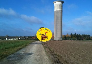
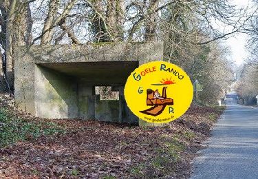
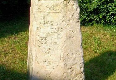
Le souvenir du passage de Jeanne d'Arc. La ferme templière de Fourcheret...
Ort
Land:
France
Region :
Nordfrankreich
Abteilung/Provinz :
Oise
Kommune :
Montépilloy
Standort:
Unknown
Gehen Sie:(Dec)
Gehen Sie:(UTM)
478132 ; 5450632 (31U) N.
Kommentare
Touren in der Umgebung
MR_OGNON (par BALAGNY-sur-AUNETTE)_5.4Km
Wandern
Medium
(3)
Villers-Saint-Frambourg-Ognon,
Nordfrankreich,
Oise,
France
1h 27min
Ja
SM_MONT-L'EVEQUE_8Km
Wandern
Medium
(4)
Mont-l'Évêque,
Nordfrankreich,
Oise,
France
8,1 km | 9,1 km-effort
1h 59min
Ja
MR_MONTLOGNON(Cimetière)_6.1Km
Wandern
Einfach
(2)
Montlognon,
Nordfrankreich,
Oise,
France
6,1 km | 6,8 km-effort
1h 30min
Ja
SM_BOREST SUD_8Km
Wandern
Medium
(7)
Borest,
Nordfrankreich,
Oise,
France
8 km | 9 km-effort
1h 48min
Ja
SM_MONTLOGNON_8.7Km
Wandern
Einfach
(3)
Montlognon,
Nordfrankreich,
Oise,
France
8,7 km | 10,3 km-effort
2h 14min
Ja
V&D_BOREST-SUD_9.3Km
Wandern
Medium
(4)
Borest,
Nordfrankreich,
Oise,
France
9,3 km | 10,4 km-effort
2h 21min
Ja
MONTLOGNON MN
Nordic Walking
Medium
Montlognon,
Nordfrankreich,
Oise,
France
12 km | 13,8 km-effort
Unbekannt
Ja
SM_OGNON-(ex BALAGNY-sur-AUNETTE)_8.3Km
Wandern
Medium
(4)
Villers-Saint-Frambourg-Ognon,
Nordfrankreich,
Oise,
France
8,3 km | 9,6 km-effort
2h 10min
Ja
Une grande échappée - Montépilloy
Wandern
Medium
(1)
Montépilloy,
Nordfrankreich,
Oise,
France
9,7 km | 11 km-effort
2h 30min
Ja
hhhh
super chouette
Très bien