


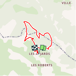

14,7 km | 26 km-effort


Benutzer


Kostenlosegpshiking-Anwendung
 SityTrail
IGN / Geografische Institute
SityTrail World
Die Welt öffnet sich für Sie
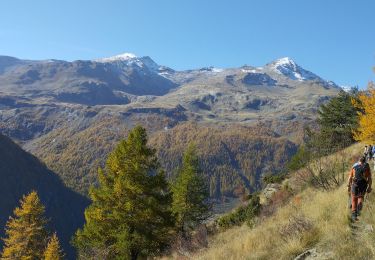
Tour Schneeschuhwandern von 6,4 km verfügbar auf Provence-Alpes-Côte d'Azur, Hochalpen, Freissinières. Diese Tour wird von markford vorgeschlagen.
Tour Classique.
Bel Vues sur Des Ecrins et Guillestre/Montdauphine. Pic Le Simous ideal pour cassé le croûte.

Wandern
Wandern

Wandern
Wandern
Wandern
Wandern
Wandern
Wandern
Wandern