12 km | 13,3 km-effort
Pullay Bois Francs 10.1 Km
ODDAD78
Benutzer
Länge
10,1 km
Maximale Höhe
209 m
Positive Höhendifferenz
69 m
Km-Effort
11 km
Min. Höhe
177 m
Negative Höhendifferenz
71 m
Boucle
Ja
Erstellungsdatum :
2019-04-13 16:34:29.091
Letzte Änderung :
2019-04-13 16:34:29.124
2h27
Schwierigkeit : Einfach
Kostenlosegpshiking-Anwendung
Über SityTrail
Tour Wandern von 10,1 km verfügbar auf Normandie, Eure, Pullay. Diese Tour wird von ODDAD78 vorgeschlagen.
Beschreibung
Offre Touristique de l'Office de Tourisme Normandie Sud, Verneuil sur Avre
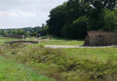
Tour du Center Parc de Verneiul sur Avre
Ort
Land:
France
Region :
Normandie
Abteilung/Provinz :
Eure
Kommune :
Pullay
Standort:
Unknown
Gehen Sie:(Dec)
Gehen Sie:(UTM)
343845 ; 5399811 (31U) N.
Kommentare
Touren in der Umgebung
Entre France et Normandie (12 kms) - Verneuil-sur-Avre
Wandern
Medium
Verneuil d'Avre et d'Iton,
Normandie,
Eure,
France
3h 0min
Ja
Entre France et Normandie - Verneuil-sur-Avre
Wandern
Sehr schwierig
(1)
Verneuil d'Avre et d'Iton,
Normandie,
Eure,
France
22 km | 24 km-effort
5h 25min
Ja
Circuit découverte de villages normands - Les Barils
Fahrrad
Einfach
Les Barils,
Normandie,
Eure,
France
17,9 km | 19,7 km-effort
1h 15min
Ja
ballade autour de center parc les bois franc
Wandern
Sehr leicht
Les Barils,
Normandie,
Eure,
France
12,9 km | 14,1 km-effort
2h 7min
Nein
Les Fossés Royaux - St Christophe-sur-Avre
Wandern
Einfach
Saint-Christophe-sur-Avre,
Normandie,
Eure,
France
7,2 km | 8 km-effort
1h 49min
Ja
st Christophe
Wandern
Sehr leicht
Saint-Christophe-sur-Avre,
Normandie,
Eure,
France
510 m | 556 m-effort
15min
Nein
Verneuil sur Avre 20.28
Zu Fuß
Medium
Verneuil d'Avre et d'Iton,
Normandie,
Eure,
France
20 km | 22 km-effort
Unbekannt
Ja
VerneuilsurAvre-Montigny
Wandern
Medium
Verneuil d'Avre et d'Iton,
Normandie,
Eure,
France
21 km | 24 km-effort
5h 20min
Ja
Randonnée des sangliers
Mountainbike
Medium
Verneuil d'Avre et d'Iton,
Normandie,
Eure,
France
57 km | 65 km-effort
3h 0min
Ja