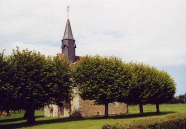
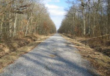
8,6 km | 9,1 km-effort
Francheville Iton Voie Romaine 16.4 Km
ODDAD78
Benutzer
Länge
16,4 km
Maximale Höhe
207 m
Positive Höhendifferenz
100 m
Km-Effort
17,8 km
Min. Höhe
176 m
Negative Höhendifferenz
102 m
Boucle
Ja
Erstellungsdatum :
2019-04-13 16:34:30.641
Letzte Änderung :
2019-04-13 16:34:30.672
3h54
Schwierigkeit : Einfach
Kostenlosegpshiking-Anwendung
Über SityTrail
Tour Wandern von 16,4 km verfügbar auf Normandie, Eure, Verneuil d'Avre et d'Iton. Diese Tour wird von ODDAD78 vorgeschlagen.
Beschreibung
Offre touristique de l'Office de Tourisme Normandie Sud - Verneuil sur Avre
Ort
Land:
France
Region :
Normandie
Abteilung/Provinz :
Eure
Kommune :
Verneuil d'Avre et d'Iton
Standort:
Unknown
Gehen Sie:(Dec)
Gehen Sie:(UTM)
342102 ; 5406097 (31U) N.
Kommentare
Touren in der Umgebung
Circuit des chemins des Isles - Cintray
Wandern
Medium
(2)
Breteuil,
Normandie,
Eure,
France
2h 10min
Ja
Cintray Chemin des Isles 8.2 Km
Wandern
Einfach
(1)
Breteuil,
Normandie,
Eure,
France
8,2 km | 8,7 km-effort
1h 56min
Ja
Circuit de Malicorne - Francheville
Wandern
Einfach
Verneuil d'Avre et d'Iton,
Normandie,
Eure,
France
4,4 km | 4,6 km-effort
1h 4min
Ja
La Voie Romaine - Francheville
Wandern
Schwierig
Verneuil d'Avre et d'Iton,
Normandie,
Eure,
France
16,1 km | 17,3 km-effort
4h 0min
Ja
Circuit du Pré Saulé - Bourth
Wandern
Einfach
Bourth,
Normandie,
Eure,
France
5,5 km | 6,2 km-effort
1h 19min
Ja
Bourth Circuit Pré Saul 5.5 Km
Wandern
Einfach
Bourth,
Normandie,
Eure,
France
5,5 km | 6,2 km-effort
1h 21min
Ja
Circuit des Passerelles - Cintray
Wandern
Einfach
Breteuil,
Normandie,
Eure,
France
2,8 km | 3,1 km-effort
45min
Ja
Laguéroulde
Mountainbike
Schwierig
Breteuil,
Normandie,
Eure,
France
63 km | 69 km-effort
3h 30min
Ja
Bourth et ses alentours
Wandern
Medium
Bourth,
Normandie,
Eure,
France
10,3 km | 11,3 km-effort
2h 33min
Ja