


11,5 km | 13,4 km-effort


Benutzer


Kostenlosegpshiking-Anwendung
 SityTrail
IGN / Geografische Institute
SityTrail World
Die Welt öffnet sich für Sie
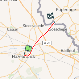
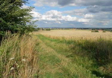
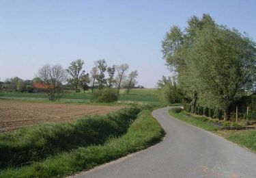
Tour Andere Aktivitäten von 14,8 km verfügbar auf Nordfrankreich, Nord, Hazebrouck. Diese Tour wird von mich54 vorgeschlagen.
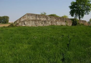
La ligne d'Hazebrouck à Boeschepe est une ancienne ligne ferroviaire française à voie unique qui reliait la gare d'Hazebrouck à la gare frontière de Godewaersvelde près de la frontière à Boeschepe, où la ligne était prolongée par la ligne belge 69 de Y Courtrai-Ouest à Abele qui rejoignait la gare de Poperinge avant de se diriger vers celle de Courtrai. La ligne est déclassée et les installations sont déposées d'Hazebrouck à la frontière et la ligne belge de la frontière à Poperinge.(Source Wikipédia)
Wandern
Mountainbike
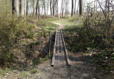
Pfad

Fahrrad
Wandern
Mountainbike
Mountainbike
Mountainbike
Mountainbike