


12,3 km | 14,8 km-effort

Benutzer


Kostenlosegpshiking-Anwendung
 SityTrail
IGN / Geografische Institute
SityTrail World
Die Welt öffnet sich für Sie
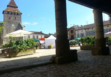
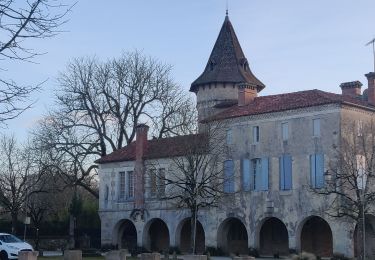
Tour Wandern von 8,6 km verfügbar auf Neu-Aquitanien, Landes, Labastide-d'Armagnac. Diese Tour wird von papiou vorgeschlagen.
faite avec 2 enfants de 7 et 5 ans. Rdv place à côté cimetière et rejoindre rue qui longe château. poursuivre en suivant fléchage très bien visible


Zu Fuß
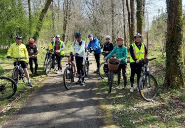
Hybrid-Bike
Wandern
Wandern

Wandern
Wandern
Wandern
Wandern
Wandern
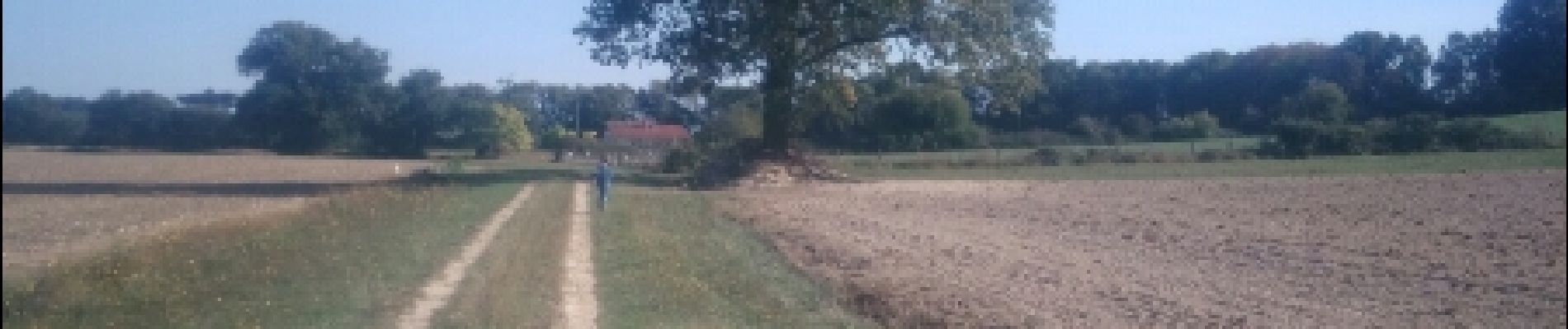
Randonnée tres agréable dans un paysage champêtre illuminé par le jaune des colzas en fleur.