


7,4 km | 8 km-effort


Benutzer


Kostenlosegpshiking-Anwendung
 SityTrail
IGN / Geografische Institute
SityTrail World
Die Welt öffnet sich für Sie
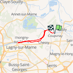
Tour Wandern von 17,3 km verfügbar auf Île-de-France, Seine-et-Marne, Coupvray. Diese Tour wird von GOELERANDO2 vorgeschlagen.
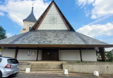
Parking rue de Lesches vers le musée Braille de Coupvray.
Départ au pied du pont sur le canal de Meaux.
Carte IGN 2414 ET
Long. 2°47.53,E
Lat. 48°53.73, N
A/R 54 km
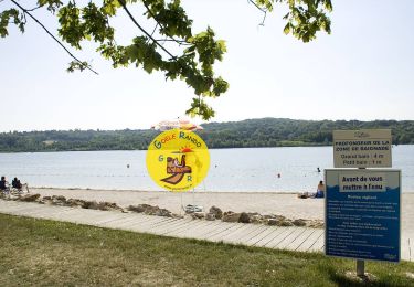
Wandern

Wandern

Wandern
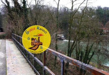
Wandern

Zu Fuß

Wandern

Wandern
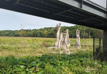
Wandern
Wandern