


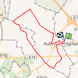

13 km | 14,9 km-effort


Benutzer


Kostenlosegpshiking-Anwendung
 SityTrail
IGN / Geografische Institute
SityTrail World
Die Welt öffnet sich für Sie
Tour Wandern von 7,9 km verfügbar auf Nordfrankreich, Nord, Aubry-du-Hainaut. Diese Tour wird von papiou vorgeschlagen.
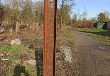
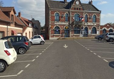
Rdv église. prendre à droite rue Henri Maurice, tourner à gauche avenue des charmes vers Malplaquet, prendre chemin de terre puis 1 ère à droite vers cimetière Hérin,traverser CD 13 et prendre chemin des fourches. à proximité coucou prendre à droite vers ancienne ferme de l'abattoir et rejoindre rue des bois puis dans Aubry,rues pasteur, botsarron et au rond-point par la gauche rejoindre église par les petites rues

Wandern

Mountainbike

Wandern

Wandern
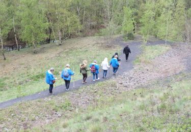
Wandern
Wandern

Wandern

Wandern