![](/images/other/stat-length.png)
![Tour Motor Boves - longueau circuit 1 eric - Photo](https://media.geolcdn.com/t/1900/400/ext.pjpeg?maxdim=2&url=https%3A%2F%2Fservices.sitytrail.com%2FGeolivesWS%2FDownloadMedia.ashx%3FTrailID%3D636243%26Media%3D48646eca-3e2c-4615-a6d1-72c3b6f6b849.jpg)
longueau circuit 1 eric
eric80330
Benutzer
![Länge](/images/other/stat-length.png)
Länge
51 km
![Maximale Höhe](https://static1.geolcdn.com/siteimages/upload/files/1508320355ic_sort_altitude_max_24dp.png)
Maximale Höhe
131 m
![Positive Höhendifferenz](https://static1.geolcdn.com/siteimages/upload/files/1508320355ic_sort_den_pos_24dp.png)
Positive Höhendifferenz
753 m
![Km-Effort](/images/other/stat-length.png)
Km-Effort
61 km
![Min. Höhe](https://static1.geolcdn.com/siteimages/upload/files/1508320355ic_sort_altitude_min_24dp.png)
Min. Höhe
25 m
![Negative Höhendifferenz](https://static1.geolcdn.com/siteimages/upload/files/1508320355ic_sort_den_neg_24dp.png)
Negative Höhendifferenz
752 m
![Boucle](https://static1.geolcdn.com/siteimages/upload/files/16400158638029165_repeat_loop_refresh_sync_direction_icon.png)
Boucle
Ja
Erstellungsdatum :
2017-05-10 00:00:00.0
Letzte Änderung :
2017-05-10 00:00:00.0
![Motor](https://static1.geolcdn.com/sitytour/trail-icons/400.png)
3h00
Schwierigkeit : Medium
![Scannen Sie diesen QR-Code, um die Tour in der SityTrail-Anwendung zu öffnen](https://capi.geolives.com/qq0zvz2zws4bq2lad0pu/sitytour/trails/636243/qr.png?size=200)
Kostenlosegpshiking-Anwendung
Über SityTrail
Tour Motor von 51 km verfügbar auf Nordfrankreich, Somme, Boves. Diese Tour wird von eric80330 vorgeschlagen.
Beschreibung
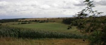
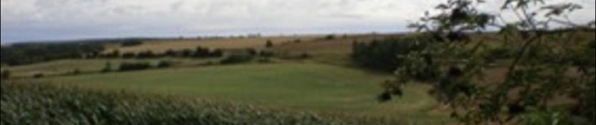
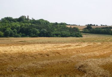
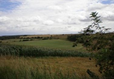
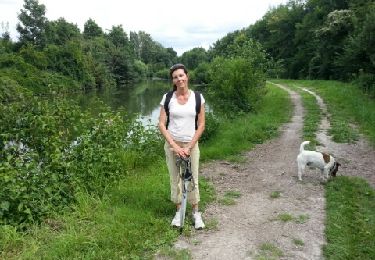
Ce parcours traverse le bois de Fau Timon,contourne le bois Magneux ;rando dans les plaine
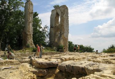
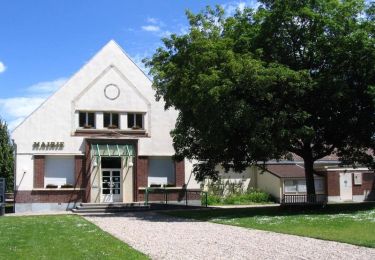
tourne entre cottenchy ,fouenceant boves , retour cagny
Ort
Land:
France
Region :
Nordfrankreich
Abteilung/Provinz :
Somme
Kommune :
Boves
Standort:
Unknown
Gehen Sie:(Dec)
Gehen Sie:(UTM)
454976 ; 5521964 (31U) N.
Kommentare
Touren in der Umgebung
![Tour Wandern Boves - 20190606-Boves - Photo](https://media.geolcdn.com/t/375/260/ext.jpg?maxdim=2&url=https%3A%2F%2Fstatic1.geolcdn.com%2Fsiteimages%2Fupload%2Ffiles%2F1553511878bg_sport_marche.png)
![Wandern Wandern](https://static1.geolcdn.com/sitytour/trail-icons/101.png)
20190606-Boves
Wandern
Medium
(1)
Boves,
Nordfrankreich,
Somme,
France
![](/images/other/stat-length.png)
24 km | 28 km-effort
6h 31min
![](https://static1.geolcdn.com/siteimages/upload/files/16400158638029165_repeat_loop_refresh_sync_direction_icon.png)
Ja
![Tour Zu Fuß Boves - Sainte-Ulphe - Photo](https://media.geolcdn.com/t/375/260/f794ff92-058a-48a4-aa54-dbc0fc355bd0.jpeg&format=jpg&maxdim=2)
![Zu Fuß Zu Fuß](https://static1.geolcdn.com/sitytour/trail-icons/100.png)
Sainte-Ulphe
Zu Fuß
Einfach
Boves,
Nordfrankreich,
Somme,
France
![](/images/other/stat-length.png)
12,3 km | 14,2 km-effort
3h 13min
![](https://static1.geolcdn.com/siteimages/upload/files/16400158638029165_repeat_loop_refresh_sync_direction_icon.png)
Ja
![Tour Wandern Fouencamps - Autour des trains 2 - Photo](https://media.geolcdn.com/t/375/260/ext.jpg?maxdim=2&url=https%3A%2F%2Fstatic1.geolcdn.com%2Fsiteimages%2Fupload%2Ffiles%2F1553511878bg_sport_marche.png)
![Wandern Wandern](https://static1.geolcdn.com/sitytour/trail-icons/101.png)
Autour des trains 2
Wandern
Medium
(2)
Fouencamps,
Nordfrankreich,
Somme,
France
![](/images/other/stat-length.png)
9,2 km | 10,7 km-effort
Unbekannt
![](https://static1.geolcdn.com/siteimages/upload/files/16400158638029165_repeat_loop_refresh_sync_direction_icon.png)
Ja
![Tour Wandern Sains-en-Amiénois - Circuit du Cambos - Sains-en-Amienois - Photo](https://media.geolcdn.com/t/375/260/ext.jpg?maxdim=2&url=https%3A%2F%2Fservices.sitytrail.com%2FGeolivesWS%2FDownloadMedia.ashx%3FTrailID%3D112076%26Media%3D9691_5.jpg)
![Wandern Wandern](https://static1.geolcdn.com/sitytour/trail-icons/101.png)
Circuit du Cambos - Sains-en-Amienois
Wandern
Sehr schwierig
Sains-en-Amiénois,
Nordfrankreich,
Somme,
France
![](/images/other/stat-length.png)
16,8 km | 20 km-effort
4h 10min
![](https://static1.geolcdn.com/siteimages/upload/files/16400158638029165_repeat_loop_refresh_sync_direction_icon.png)
Ja
![Tour Wandern Sains-en-Amiénois - Circuit de Rumigny - Sains-en-Amienois - Photo](https://media.geolcdn.com/t/375/260/ext.jpg?maxdim=2&url=https%3A%2F%2Fservices.sitytrail.com%2FGeolivesWS%2FDownloadMedia.ashx%3FTrailID%3D105809%26Media%3D9731_3.jpg)
![Wandern Wandern](https://static1.geolcdn.com/sitytour/trail-icons/101.png)
Circuit de Rumigny - Sains-en-Amienois
Wandern
Medium
Sains-en-Amiénois,
Nordfrankreich,
Somme,
France
![](/images/other/stat-length.png)
10,9 km | 12,7 km-effort
2h 15min
![](https://static1.geolcdn.com/siteimages/upload/files/16400158638029165_repeat_loop_refresh_sync_direction_icon.png)
Ja
![Tour Mountainbike Longueau - Plaine et bois autour de Grattepanche - Longueau - Photo](https://media.geolcdn.com/t/375/260/ext.jpg?maxdim=2&url=https%3A%2F%2Fservices.sitytrail.com%2FGeolivesWS%2FDownloadMedia.ashx%3FTrailID%3D103832%26Media%3D6613_4.jpg)
![Mountainbike Mountainbike](https://static1.geolcdn.com/sitytour/trail-icons/202.png)
Plaine et bois autour de Grattepanche - Longueau
Mountainbike
Medium
Longueau,
Nordfrankreich,
Somme,
France
![](/images/other/stat-length.png)
44 km | 53 km-effort
2h 30min
![](https://static1.geolcdn.com/siteimages/upload/files/16400158638029165_repeat_loop_refresh_sync_direction_icon.png)
Nein
![Tour Wandern Boves - BOVES - Photo](https://media.geolcdn.com/t/375/260/edcb816a-f065-4fb7-896e-e8e09b20486f.jpg&format=jpg&maxdim=2)
![Wandern Wandern](https://static1.geolcdn.com/sitytour/trail-icons/101.png)
![Tour Wandern Camon - CAMON - Photo](https://media.geolcdn.com/t/375/260/1bf8ed16-1e55-413a-8d01-1b9bd69c3085.jpg&format=jpg&maxdim=2)
![Wandern Wandern](https://static1.geolcdn.com/sitytour/trail-icons/101.png)
![Tour Wandern Camon - bords somme Camon - Photo](https://media.geolcdn.com/t/375/260/ext.jpg?maxdim=2&url=https%3A%2F%2Fservices.sitytrail.com%2FGeolivesWS%2FDownloadMedia.ashx%3FTrailID%3D146571%26Media%3D20120813145905.jpeg)
![Wandern Wandern](https://static1.geolcdn.com/sitytour/trail-icons/101.png)
bords somme Camon
Wandern
Sehr leicht
Camon,
Nordfrankreich,
Somme,
France
![](/images/other/stat-length.png)
6,6 km | 7 km-effort
1h 35min
![](https://static1.geolcdn.com/siteimages/upload/files/16400158638029165_repeat_loop_refresh_sync_direction_icon.png)
Ja