


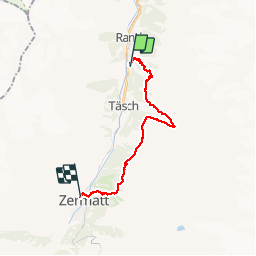


18,8 km | 34 km-effort

Benutzer


Kostenlosegpshiking-Anwendung
 SityTrail
IGN / Geografische Institute
SityTrail World
Die Welt öffnet sich für Sie
Tour Wandern von 18,5 km verfügbar auf Wallis, Visp, Randa. Diese Tour wird von jeff2 vorgeschlagen.
La plus journée pour la météo et la plus belle arrivée sur Zermatt


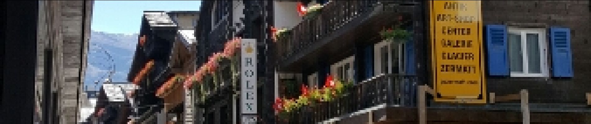
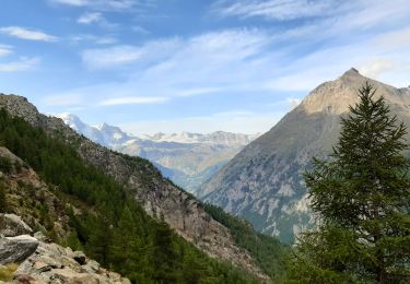
28 Fotos insgesamt. Klicken Sie auf ein Foto, um sie alle in der Galerie zu sehen.
Wandern

Wandern

Andere Aktivitäten
Andere Aktivitäten


sport
Wandern
Klettern