


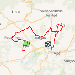

11,5 km | 15,4 km-effort


Randonnées de Vélo Loisir Provence GUIDE+


Kostenlosegpshiking-Anwendung
 SityTrail
IGN / Geografische Institute
SityTrail World
Die Welt öffnet sich für Sie
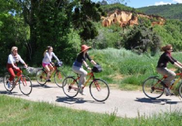
Tour Fahrrad von 28 km verfügbar auf Provence-Alpes-Côte d'Azur, Vaucluse, Gargas. Diese Tour wird von Vélo Loisir Provence vorgeschlagen.
Parcours vélo du jour 5 de L'échappée Belge en Luberon !
Mountainbike
Wandern
Wandern
Wandern
Wandern
Wandern

Wandern
Fahrrad
Fahrrad