


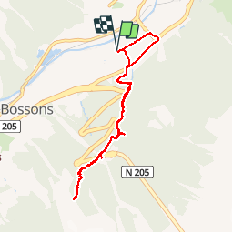


6,1 km | 9,4 km-effort

Benutzer GUIDE


Kostenlosegpshiking-Anwendung
 SityTrail
IGN / Geografische Institute
SityTrail World
Die Welt öffnet sich für Sie
Tour Wandern von 8,2 km verfügbar auf Auvergne-Rhone-Alpen, Hochsavoyen, Chamonix-Mont-Blanc. Diese Tour wird von pascalou73 vorgeschlagen.
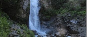
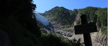
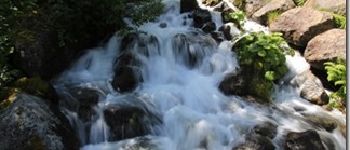
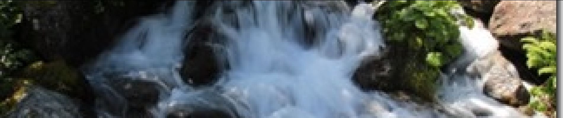
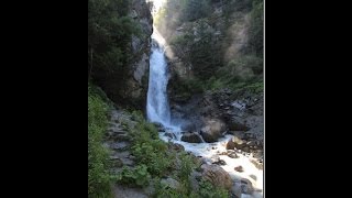
Au départ de chamonix vous pouvez aller voir une trés belle cascade avec un beau petit établissement et ensuite vous pouvez aller au point de vue sur le glacier des Bossons .


Wandern

Wandern

Laufen

Wandern

Wandern

Wandern

Laufen

Wandern

Mountainbike