


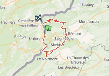

13,8 km | 18,8 km-effort

Benutzer


Kostenlosegpshiking-Anwendung
 SityTrail
IGN / Geografische Institute
SityTrail World
Die Welt öffnet sich für Sie
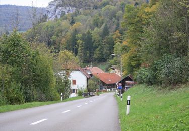
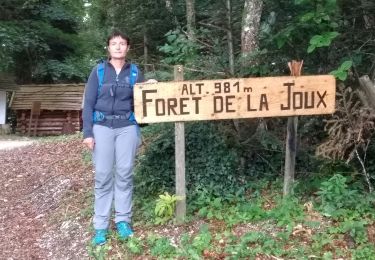
Tour Wandern von 24 km verfügbar auf Burgund und Freigrafschaft, Doubs, Goumois. Diese Tour wird von tiene vorgeschlagen.
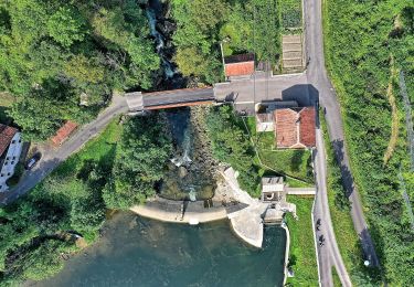
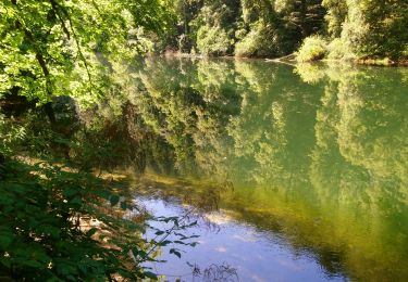
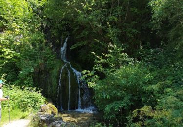
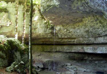
Les incontournables:Les SOMMÊTRES;le plus haut belvédère sur le Doubs, puisqu’il le domine de près de 600 mètres.Le Château de CUGNY avec les surprenants « vestiges ruiniformes ».La chute du BIEF.


Wandern
Zu Fuß
Zu Fuß
Zu Fuß
Wandern

Zu Fuß
Wandern
Wandern
Wandern