


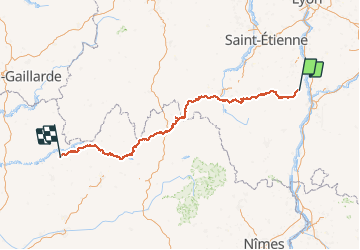


15,4 km | 22 km-effort


Benutzer


Kostenlosegpshiking-Anwendung
 SityTrail
IGN / Geografische Institute
SityTrail World
Die Welt öffnet sich für Sie
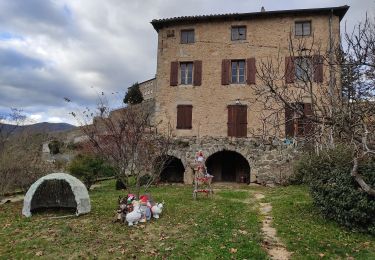
Tour Pferd von 348 km verfügbar auf Auvergne-Rhone-Alpen, Ardèche, Saint-Barthélemy-le-Plain. Diese Tour wird von ambrecapiccini vorgeschlagen.
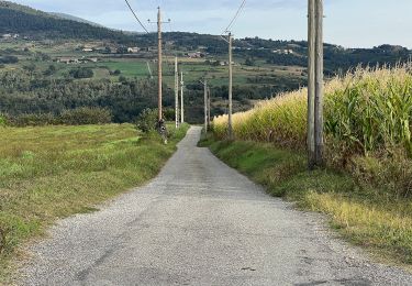
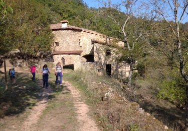
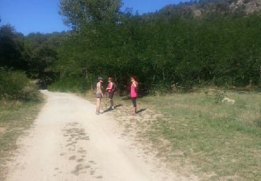
Ambre Capiccini et Bibou,comme pointure d'aventure, vous présente leur aventure en chemin de l'Ardèche à l'Aveyron.


sport
Zu Fuß
Wandern
Wandern

Wandern
Wandern
Wandern
Wandern
Wandern