


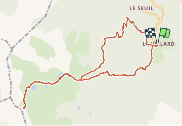

11,9 km | 22 km-effort


Benutzer


Kostenlosegpshiking-Anwendung
 SityTrail
IGN / Geografische Institute
SityTrail World
Die Welt öffnet sich für Sie
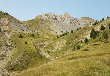
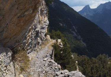
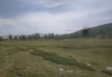
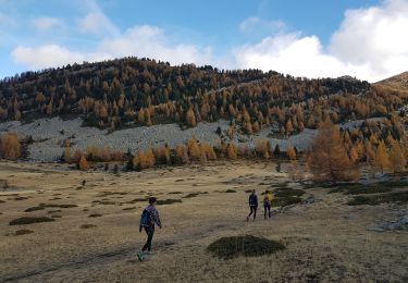
Tour Wandern von 14,1 km verfügbar auf Provence-Alpes-Côte d'Azur, Alpes-de-Haute-Provence, Le Lauzet-Ubaye. Diese Tour wird von BLANCHET vorgeschlagen.
ça grimpe régulièrement et fort.
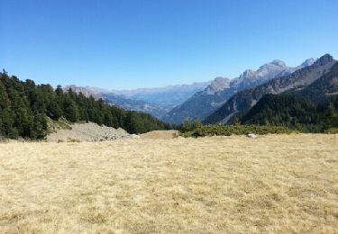
Le panorama du haut du col est grandiose sur la vallée de la Blanche.
Wandern
Wandern

Wandern
Wandern
Wandern

Wandern
Wandern
Wandern
Wandern