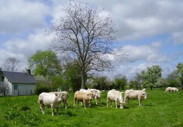
10,3 km | 11,2 km-effort
chambord 12 aout 2016
dominiquelaudou
Benutzer
Länge
8,3 km
Maximale Höhe
221 m
Positive Höhendifferenz
47 m
Km-Effort
8,9 km
Min. Höhe
193 m
Negative Höhendifferenz
48 m
Boucle
Ja
Erstellungsdatum :
2016-08-12 00:00:00.0
Letzte Änderung :
2016-08-12 00:00:00.0
2h00
Schwierigkeit : Einfach
Kostenlosegpshiking-Anwendung
Über SityTrail
Tour Wandern von 8,3 km verfügbar auf Normandie, Eure, Chambord. Diese Tour wird von dominiquelaudou vorgeschlagen.
Beschreibung
la perliere,le saussay,
la godiniere
Ort
Land:
France
Region :
Normandie
Abteilung/Provinz :
Eure
Kommune :
Chambord
Standort:
Unknown
Gehen Sie:(Dec)
Gehen Sie:(UTM)
324699 ; 5418014 (31U) N.
Kommentare
Touren in der Umgebung
Circuit de la Mésangère - Mesnil-Rousset
Wandern
Medium
Mesnil-Rousset,
Normandie,
Eure,
France
2h 34min
Ja
BOIS ANZERAY
Wandern
Medium
Bois-Anzeray,
Normandie,
Eure,
France
10,1 km | 11,3 km-effort
2h 30min
Ja
la haye st sylvestre 26 aout 2016
Wandern
Einfach
La Haye-Saint-Sylvestre,
Normandie,
Eure,
France
8,5 km | 9,2 km-effort
2h 2min
Ja
la haye st sylvestre 26 fevrier 2016
Wandern
Einfach
La Haye-Saint-Sylvestre,
Normandie,
Eure,
France
8,5 km | 9,2 km-effort
2h 3min
Ja
chambord dans l'Eure 27
Wandern
Medium
Chambord,
Normandie,
Eure,
France
6,5 km | 7,1 km-effort
1h 36min
Ja
chambord 18 aout 2017
Wandern
Einfach
Chambord,
Normandie,
Eure,
France
8,5 km | 9,2 km-effort
2h 2min
Ja
les bottereaux 4 aout 2017
Wandern
Einfach
Les Bottereaux,
Normandie,
Eure,
France
8,7 km | 9,7 km-effort
2h 7min
Ja