


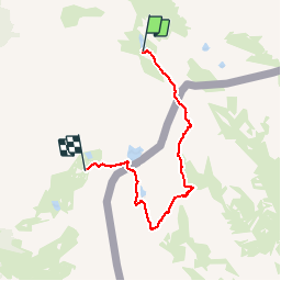

16,7 km | 31 km-effort


Benutzer


Kostenlosegpshiking-Anwendung
 SityTrail
IGN / Geografische Institute
SityTrail World
Die Welt öffnet sich für Sie
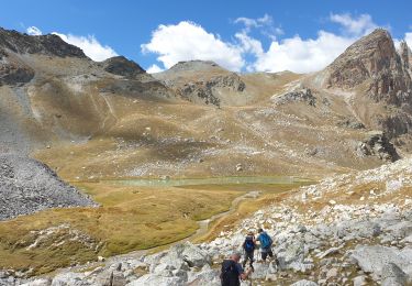
Tour Wandern von 11,1 km verfügbar auf Provence-Alpes-Côte d'Azur, Alpes-de-Haute-Provence, Saint-Paul-sur-Ubaye. Diese Tour wird von morganee vorgeschlagen.
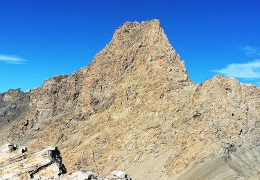
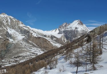
Passage par 2 cols très ardus en montée (et sans doute pire en descente), dont le bien nommé col de l'enfer

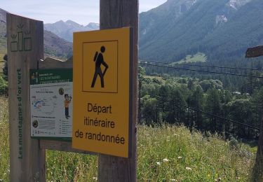
Wandern
Zu Fuß
Wandern

Andere Aktivitäten

Wandern
Wandern
Schneeschuhwandern
Wandern
Wandern