


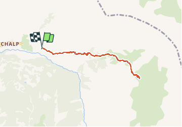

7,2 km | 11 km-effort

Benutzer


Kostenlosegpshiking-Anwendung
 SityTrail
IGN / Geografische Institute
SityTrail World
Die Welt öffnet sich für Sie
Tour Nordic Walking von 7,8 km verfügbar auf Provence-Alpes-Côte d'Azur, Hochalpen, Crévoux. Diese Tour wird von Gegetop vorgeschlagen.
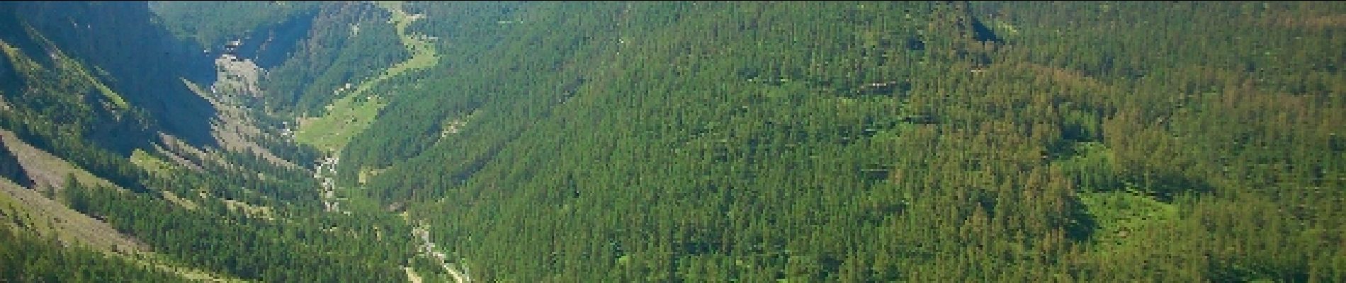
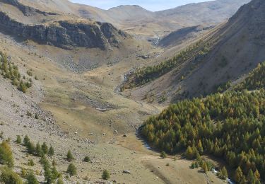
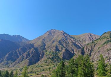
Jolie montée assez caillouteuse qui débouche sur le vallon accueillant de verdure et de fleurs, puis enfin le petit lac aux eaux vertes.


Wandern

Andere Aktivitäten

Wandern

Wandern

Wandern

Wandern

Wandern
Wandern
Wandern