


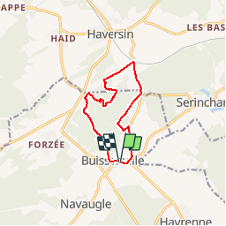

18,9 km | 24 km-effort


Benutzer


Kostenlosegpshiking-Anwendung
 SityTrail
IGN / Geografische Institute
SityTrail World
Die Welt öffnet sich für Sie
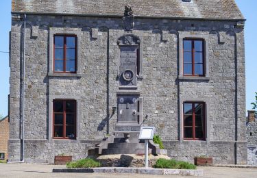
Tour Wandern von 9,5 km verfügbar auf Wallonien, Namur, Rochefort. Diese Tour wird von r.genette vorgeschlagen.
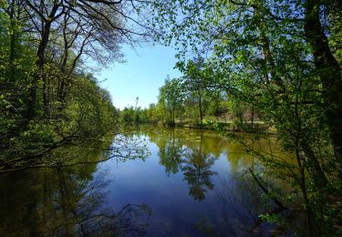
Un bon dénivelé pour commencer. une partie privée joliment boisée (région wallonne )une nouvelle grimpette et on redescend vers le village.
Wandern

Wandern
Wandern
Wandern

Reiten

Zu Fuß
Zu Fuß
Zu Fuß
