


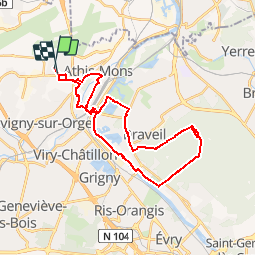

14,8 km | 17 km-effort


Benutzer


Kostenlosegpshiking-Anwendung
 SityTrail
IGN / Geografische Institute
SityTrail World
Die Welt öffnet sich für Sie
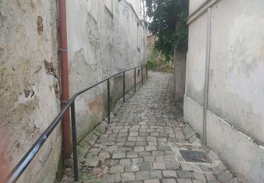
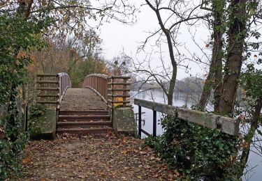
Tour Mountainbike von 31 km verfügbar auf Île-de-France, Essonne, Paray-Vieille-Poste. Diese Tour wird von JYMEN vorgeschlagen.
Parcours longeant les bords de seine
après le pont de juvisy , remontant vers la foret de sénart et revenant par draveil
Wandern

Wandern

Wandern
Zu Fuß
Wandern
Wandern
Wandern

Zu Fuß
Wandern