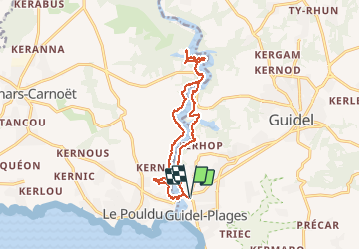

9,1 km | 10 km-effort


Benutzer


Kostenlosegpshiking-Anwendung
 SityTrail
IGN / Geografische Institute
SityTrail World
Die Welt öffnet sich für Sie
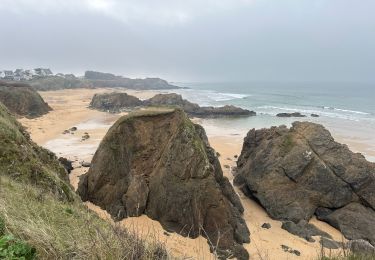
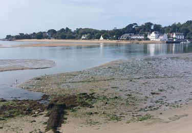
Tour Andere Aktivitäten von 14,4 km verfügbar auf Bretagne, Morbihan, Guidel. Diese Tour wird von michelquemere vorgeschlagen.
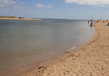
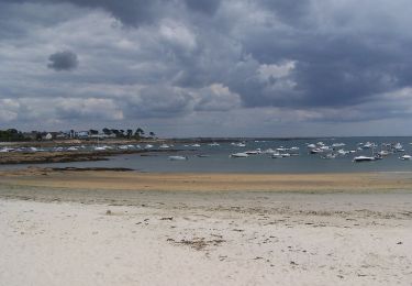
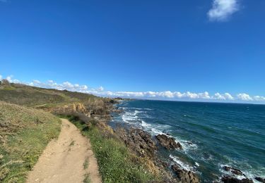
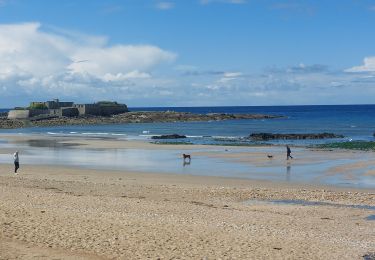
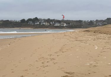
Départ Guidel-plage jusqu'à Abbaye Saint-Maurice et retour vers le Pouldu retour à Guidel-plage par le bac 1€ la traversée jusqu'à 18h00.
Zu Fuß
Wandern
Wandern
Wandern
Wandern
Wandern
Wandern