


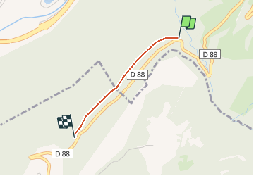

11,1 km | 21 km-effort


Benutzer


Kostenlosegpshiking-Anwendung
 SityTrail
IGN / Geografische Institute
SityTrail World
Die Welt öffnet sich für Sie
Tour Andere Aktivitäten von 1,4 km verfügbar auf Auvergne-Rhone-Alpen, Savoyen, Aime-la-Plagne. Diese Tour wird von gilsep vorgeschlagen.
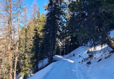
Joli sentier pédagogique réalisé par les enfants des écoles. À faire en famille. En sous-bois, ombragé.

Zu Fuß

Zu Fuß

Zu Fuß

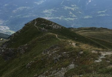
Wandern

Wandern
Skiwanderen
Wandern
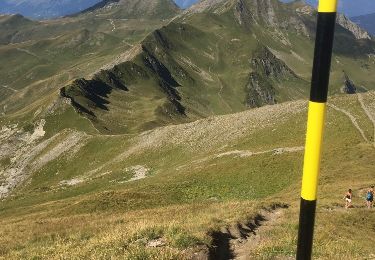
Wandern
Wandern