


19,1 km | 36 km-effort

Benutzer


Kostenlosegpshiking-Anwendung
 SityTrail
IGN / Geografische Institute
SityTrail World
Die Welt öffnet sich für Sie
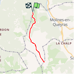
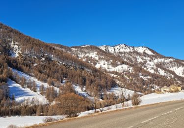
Tour Wandern von 11,9 km verfügbar auf Provence-Alpes-Côte d'Azur, Hochalpen, Château-Ville-Vieille. Diese Tour wird von suntajl vorgeschlagen.
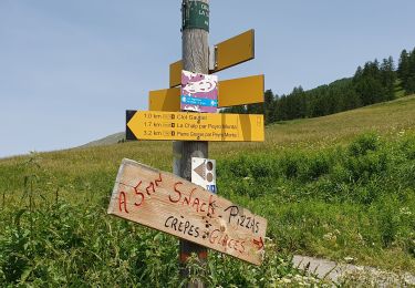
Décrit dans les guides avec peu de précisions et carte IGN comporte quelques petites erreurs.
Nous nous sommes garés 200m avant le grand parking du sommret Bucher et la trace commence à cet endroit.
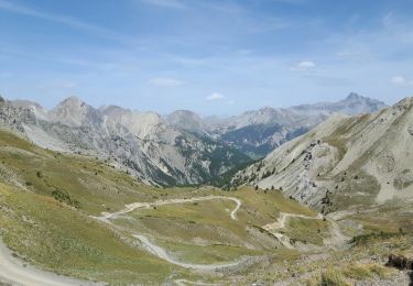
Belle promenade facile, chemins toujours évidents sauf à partir de 2517m où il ne faut pas suivre le tracé IGN. Super point de vue au col, pas obligatoire de monter à la Pointe de Rasis.


Wandern

Wandern

Wandern

Mountainbike

Schneeschuhwandern
Wandern

Wandern
Schneeschuhwandern
Wandern
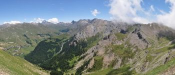
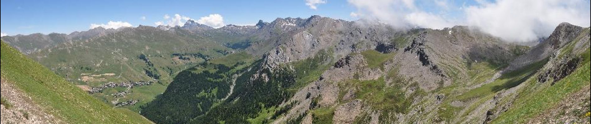
super beau