


8 km | 16,3 km-effort


Benutzer


Kostenlosegpshiking-Anwendung
 SityTrail
IGN / Geografische Institute
SityTrail World
Die Welt öffnet sich für Sie
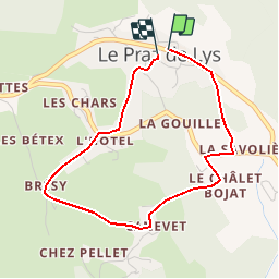
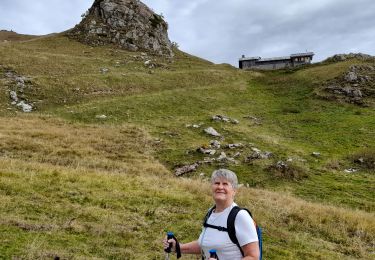
Tour Wandern von 3,6 km verfügbar auf Auvergne-Rhone-Alpen, Hochsavoyen, Taninges. Diese Tour wird von gilsep vorgeschlagen.
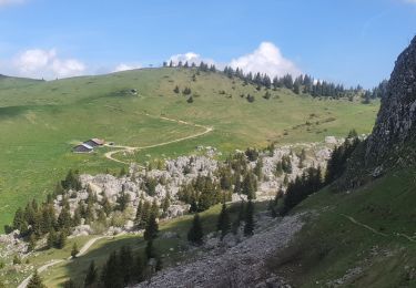
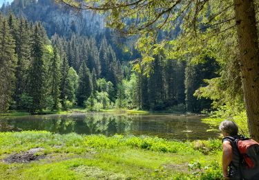
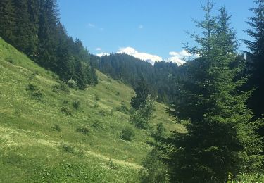
Départ du centre du Praz de Lys. Seule la partie empruntant le GR monte un peu.
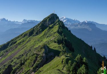
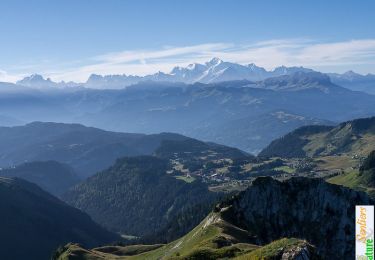
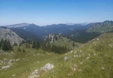
Très belles vues sur le Mont blanc et sur la pointe de Marcely.
Wandern
Wandern
Wandern
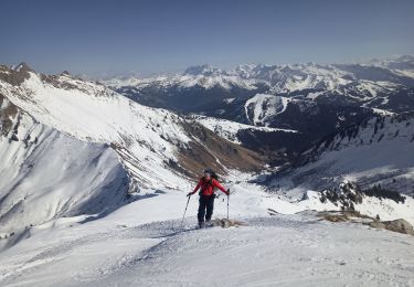
Skiwanderen

Wandern
Wandern
Wandern
Wandern
Wandern