


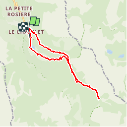


6,8 km | 11,1 km-effort

Benutzer


Kostenlosegpshiking-Anwendung
 SityTrail
IGN / Geografische Institute
SityTrail World
Die Welt öffnet sich für Sie
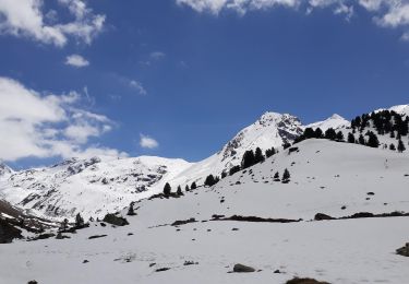
Tour Wandern von 16,1 km verfügbar auf Auvergne-Rhone-Alpen, Savoyen, Les Allues. Diese Tour wird von Hubert78 vorgeschlagen.
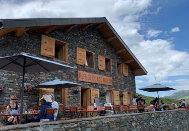
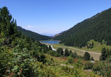
Très beaux paysages. Possibilité de repas ou nuit au refuge.


34 Fotos insgesamt. Klicken Sie auf ein Foto, um sie alle in der Galerie zu sehen.

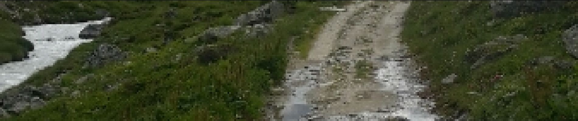
Wandern

Wandern

Wandern

Wandern

Andere Aktivitäten

Wandern
Andere Aktivitäten
Wandern
Wandern