


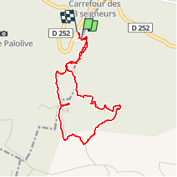


12,5 km | 15,3 km-effort

Benutzer


Kostenlosegpshiking-Anwendung
 SityTrail
IGN / Geografische Institute
SityTrail World
Die Welt öffnet sich für Sie
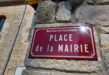
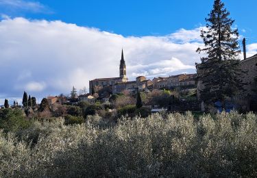
Tour Wandern von 2,1 km verfügbar auf Auvergne-Rhone-Alpen, Ardèche, Les Vans. Diese Tour wird von sandrineh vorgeschlagen.
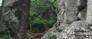
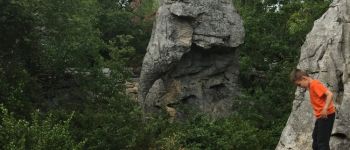
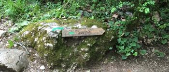
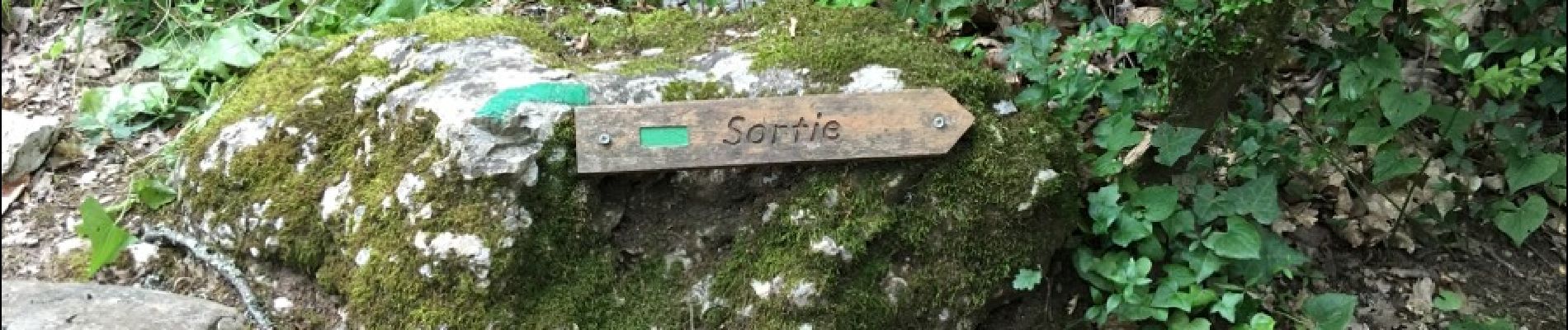
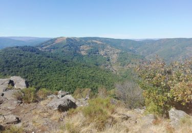
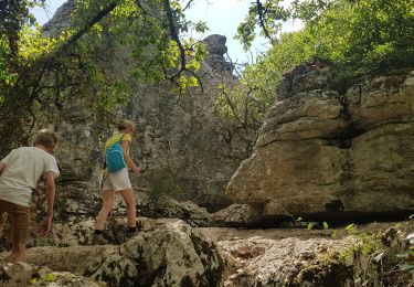
Depuis le parking des clairières. Le bestiaire, le labyrinthe. Cela commence comme une ballade digestive puis cela se transforme en expédition dans les rochers. Certains passages étroits. Prévoir de bonnes chaussures.


Wandern
Wandern
Wandern
Wandern

Wandern

Wandern

Mountainbike
Wandern
Wandern