


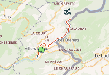

11,5 km | 18,8 km-effort


Benutzer


Kostenlosegpshiking-Anwendung
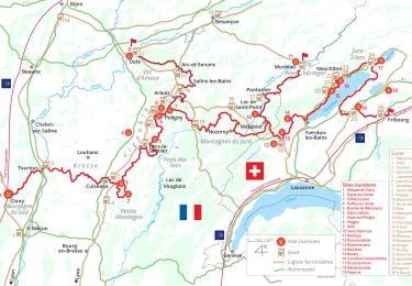
 SityTrail
IGN / Geografische Institute
SityTrail World
Die Welt öffnet sich für Sie
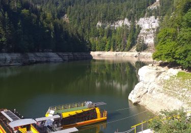
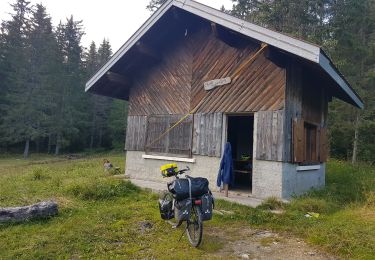
Tour Kanufahren - Kajakfahren von 6 km verfügbar auf Burgund und Freigrafschaft, Doubs, Villers-le-Lac. Diese Tour wird von benoit747 vorgeschlagen.
Aller - retour 12km
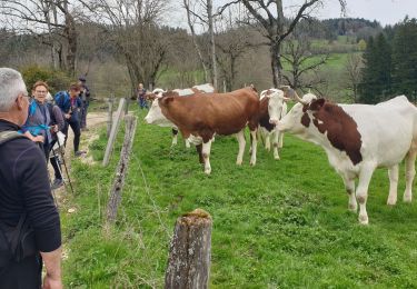
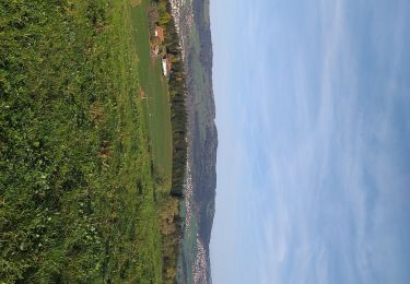
superbe paysage
attention aux navettes dans les méandres entre Villers le lac et le lac de Chaillexon
Peux être surpeuplé en haute saison
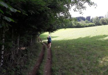
Wandern
Zu Fuß
Zu Fuß
Zu Fuß
Wandern
Wandern
Wandern
Wandern
Radtourismus